
Polar infrastructure and logistics discovery
European Polar Board
The polar research fleet, its stations and its planned expeditions — in one place.
Polardex brings together the infrastructure that makes polar science possible: research stations and field camps, ice-capable vessels and aircraft, and the voyages already planned for coming seasons. Search it on a map, in a table, or just by asking.
Because those plans are published before the ships sail, they are also an opportunity. Expeditions advertise the berths, lab space and deck time they can share — so a mooring gets serviced, a student gets a season, and a cruise sails fuller than it otherwise would.
- Planned routes
- 1,476
- Stations & camps
- 550
- Vessels
- 74
- Aircraft
- 9
SOOS - Due South
Upcoming expeditions to the Southern Ocean
DueSouth is where research teams share their plans for upcoming Southern Ocean and Antarctic expeditions, so they can find collaborators and coordinate their field seasons.
This view puts those multi-disciplinary, multi-national plans on the map alongside COMNAP's planned voyages and the stations, vessels and aircraft already in Polardex — so you can see who is working near you next season, or on similar problems elsewhere in the Southern Ocean.
Open the Due South map →DueSouth is a product of the Southern Ocean Observing System.
Open to collaboration
Planned expeditions with berths, lab space or deck time going spare. Ask the assistant what you need, or take a look at what is on offer.
Curated map views
Saved views of the polar record — a region, a fleet, a season — each opening straight into the map with its layers and filters already set.
In 1988, the Council of Managers of National Antarctic Programs (COMNAP) was established. Back then, there was a growing interest in Antarctica and a need for a focused group of experts to ensure effective and collaborative operations, logistics and science support. Today, our Membership has grown from twenty-two Member programs to thirty-four Member and three Observer programs. Countries engaging in Antarctic research, that are also signatories to the Antarctic Treaty and the Environmental Protocol, may participate in COMNAP. Membership is open to those countries’ national agencies responsible for planning and conducting Antarctic operations in support of science, called the “National Antarctic Programs”. The managers of these organizations become the national COMNAP representative.
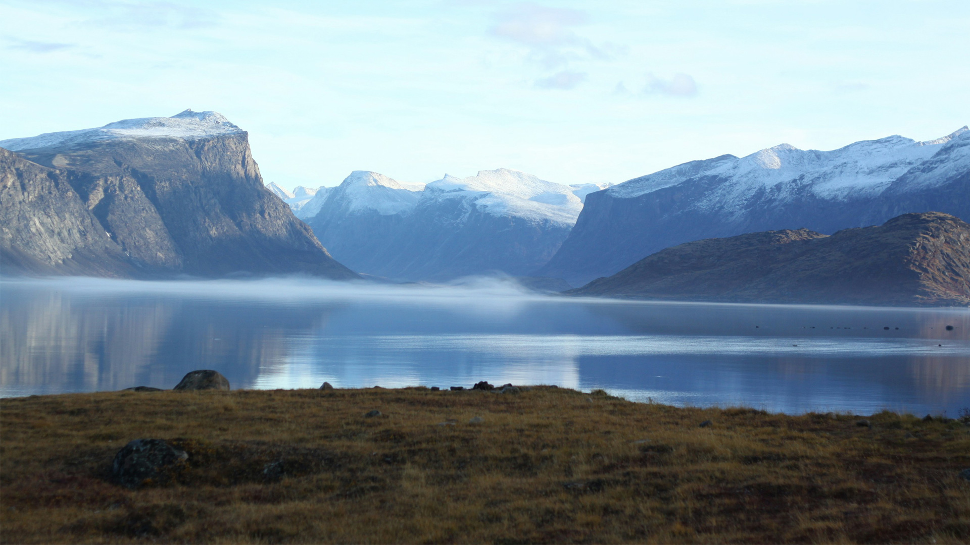
This map presents the network of Canadian Arctic stations, camps, and operational sites distributed across the northern territories and archipelago. It brings together permanent research stations, seasonal field camps, logistics hubs, and remote monitoring outposts that support scientific research, environmental observation, and northern operations. Spanning regions from the Yukon and Northwest Territories to Nunavut and the High Arctic islands, the map highlights the geographic reach and isolation of these sites, many of which operate in extreme conditions and are accessible only during limited seasonal windows. The distribution of locations reflects key areas of scientific interest, including climate change, sea ice dynamics, biodiversity, and geophysical processes. Together, these stations and camps form a critical infrastructure for Arctic research and presence, enabling long-term data collection, supporting expeditions, and contributing to a deeper understanding of rapidly changing polar environments.
This database allows you to share plans for upcoming Southern Ocean and Antarctic research expeditions. It will help you to find collaborators and coordinate your field plans. The database holds multi-disciplinary, multi-national information about planned projects. Use it to find out who is working near you in the upcoming field season, or who is working on similar problems in other parts fo the Southern Ocean. Upload your field plans to help potential collaborators find you. DueSouth is a product of the Southern Ocean Observing System.