
Performance
About
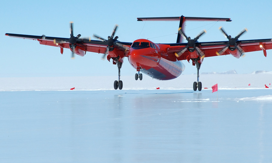
This is a 110 Series aircraft with STOL capabilities that can be operated from both paved and unpaved surfaces.
The aircraft has magnetometer pods on the wing hard points. In addition, there is an instrument port with the dimensions 1.6 x 0.6m. The maximum instrument height is 1.2m including the pressure box associated with the port.
There are fuselage hard points for planar antennas.
Magnetometer
Sintrex CS3 sensors are used due to their high sensitivity, high cycling rates, excellent gradient tolerance, fast response and low susceptibility to the electromagnetic interference.
Altitude and Position
GPS NMEA and one pulse per second (1pps) is distributed to all systems to provide synchronisation of all the data and formation of coherent data sets.
Gravimeter
Aero gravity measurements are acquired with a modified LaCoste and Romberg air/sea gravimeter. Crossover analysis indicates the free-anomaly field is accurate to ~5mGals for wavelengths greater than 10km. A Chekan* airborne gravimeter has also been flown in Antarctica. Various IMAR strap down gravity systems have also been flown.
GPS Positioning
Two GPS logging at 2Hz and 10Hz are used. This provides a true dual redundant system utilising two dissimilar GPS receivers, mitigating against drop-outs due to firmware coding errors. A Leica GPS 500 provides the primary GPS and a Novatel DL-V3 provides the system redundancy.
Radiometers
Eppley PIR and PSP sensors fitted to the roof and underside of the aircraft. Logged at around 10Hz.
Intergraph’s Z/I Imaging Digital mapping Camera (DMC)
Polardex assistant
Sign in to ask about polar stations, vessels, aircraft and planned expeditions.
Sign in