
About
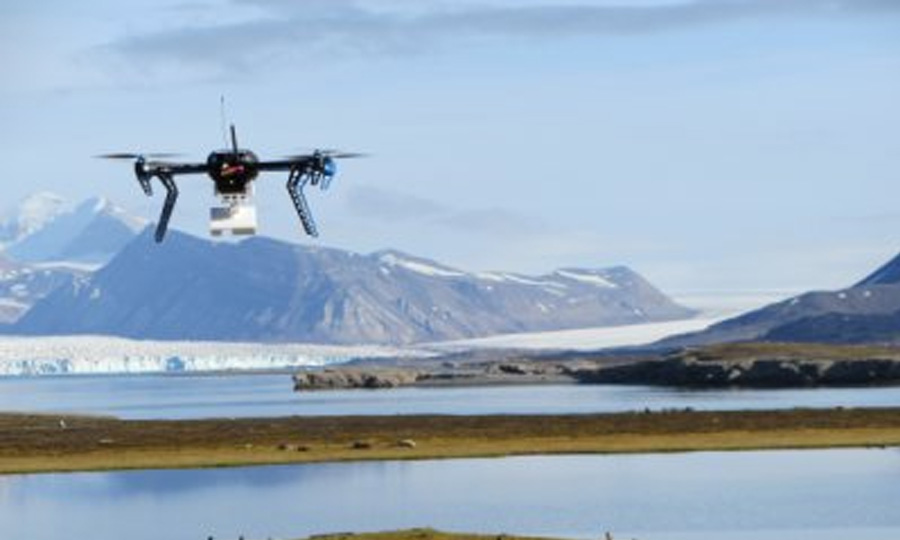
SIOS provides opportunity to use drones funded by the SIOS-InfraNor project, and other drones available with UNIS drone group & NORCE. NORCE has an extensive RO3 operator permit for drone operation. Under this operator permit there is an operating agreement for UNIS to operate, and personnel at UNIS have been trained for this purpose. Presently, DJI’s multicopters (Inspire 1 and 2, Mavic Enterprise Dual and Zoom, Phantom 4 pro) are available for conducting operations. With these types of drones, flights up to 20 minutes are possible and the operating distance about 1-2 Km.
Remote sensing capacities of drones
Drones are equipped with optical imaging sensors – from visible range to infrared. Additional sensor – Intermet iMet XQ2 (sensor including atmospheric pressure, temperature and humidity, GPS coordinates, rechargeable battery and data logger) – can be added to Mavic or Phantom to measure air temperature and humidity profile in atmospheric boundary layer up to 500 m above groundlevel. The ground resolution depends on the height of the multicopter. Each flight session (20 min) can collect up to a few gigabytes (GB) of images (raw data).
List of drones available for operation
Platform: DJI Inspire 2 (RO2/RO3)
Sensors: Zenmuse X5
Platform: DJI Inspire 1 (RO2/RO3)
Sensors: Zenmuse X3 or Zenmuse XT (radiometric)
Platform: DJI Mavic 2 Enterprise (RO1/RO2/RO3)
Sensors: Flir + Optic (dual) & Intermet iMet XQ2
Platform: DJI Mavic 2 Enterprise (RO1/RO2/RO3)
Sensors: Zoom lens & Intermet iMet XQ2
Platform: DJI Phantom 4 Pro (RO1/RO2/RO3)
Sensors: Standard & Intermet iMet XQ2
Please contact remotesensing@sios-svalbard.org if you need more information on usage of drones and Dornier for your project activity.
For further information on SIOS, please visit https://sios-svalbard.org/.
Polardex assistant
Sign in to ask about polar stations, vessels, aircraft and planned expeditions.
Sign in