
United States Antarctic Program
Location
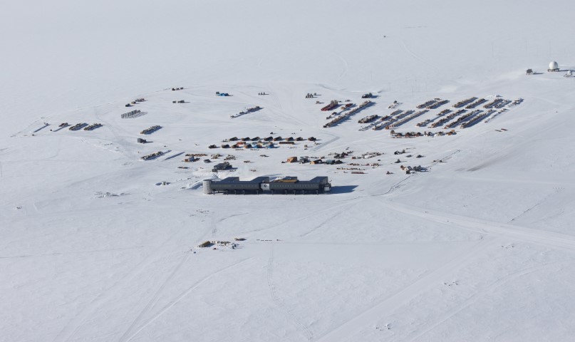
The station stands at an elevation of 2,835 meters (9,306 feet) on Antarctica's nearly featureless ice sheet, which is about 2,700 meters (9,000 feet) thick at that location. The station, which is 850 nautical miles south of McMurdo Station, is drifting with the ice sheet at about 10 meters (33 feet) each year.
Research
The station has an Atmospheric Research Observatory, the Martin A. Pomerantz Observatory for astrophysics, and computer systems for research and communication including Internet access. It has collected the longest continuous set of meteorological data from Antarctica's vast interior ice plateau, and it is well located for studies of the cusp region of the magnetosphere. Astronomy and astrophysics have flourished in recent years, taking advantage of excellent optical properties of the atmosphere (resulting from its high elevation, low temperature, and low humidity) and, for neutrino detection, the extremely clear and homogeneous thick ice below. A small biomedical research facility is present. Other areas of interest include glaciology, geophysics and seismology, ocean and climate systems, astrophysics, astronomy, and biology.
Polardex assistant
Sign in to ask about polar stations, vessels, aircraft and planned expeditions.
Sign in