
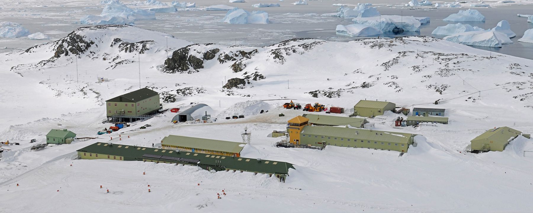
Rothera, British Antarctic Survey (BAS)
Location
Rothera research station is situated on Rothera Point – a rock and raised beach promontory at the southern extremity of the Wormald Ice Piedmont on the south-east of Adelaide Island to the west of the Antarctic Peninsula.
History
Station occupied continuously from 25 October 1975. Phased construction programme since that time. Runway and wharf constructed in 1991/92.
Research
Marine and terrestrial biology, geology, glaciology, meteorology and upper atmospherics.
Biodiversity
Flora mainly limited to lichen. Breeding colonies of South polar skua, terns and Imperial Cormorants in the area. Large transitory populations of other bird species (petrels, gulls etc). Regular visits from Adélie penguins although no breeding colonies close by. Occasional sightings of Chinstrap and Emperor penguins. Regular sightings of Weddell, Crabeater, Fur, Elephant and Leopard seals. Regular sightings of Minke whale and Orca, occasionally Humpbacks.
Human Presence
All human activity relates to scientific research or support of scientific research.
Climate
Access
4-5 hour flight from Falkland Islands/South America. 4-5 days ship passage from Falkland Islands/South America.
Polardex assistant
Sign in to ask about polar stations, vessels, aircraft and planned expeditions.
Sign in